A living map of your land.
Map your whole property
Start with your land as it really is. Draw zones, trace driveways and fence lines, drop markers, and measure distances — your property becomes a living plan instead of a flat picture.
- Draw and label zones, beds, and boundaries
- Distance and area measurement tools
- Start free with one location and unlimited trackables
Track every planting and structure
Each tree, bed, paddock, pond, and building is its own trackable — placed on the map, typed by species or kind, and ready to carry its own history.
- Trees, shrubs, vines, beds, and fungi
- Structures, paths, fences, ponds, and zones
- Subtype and species detail on every entity
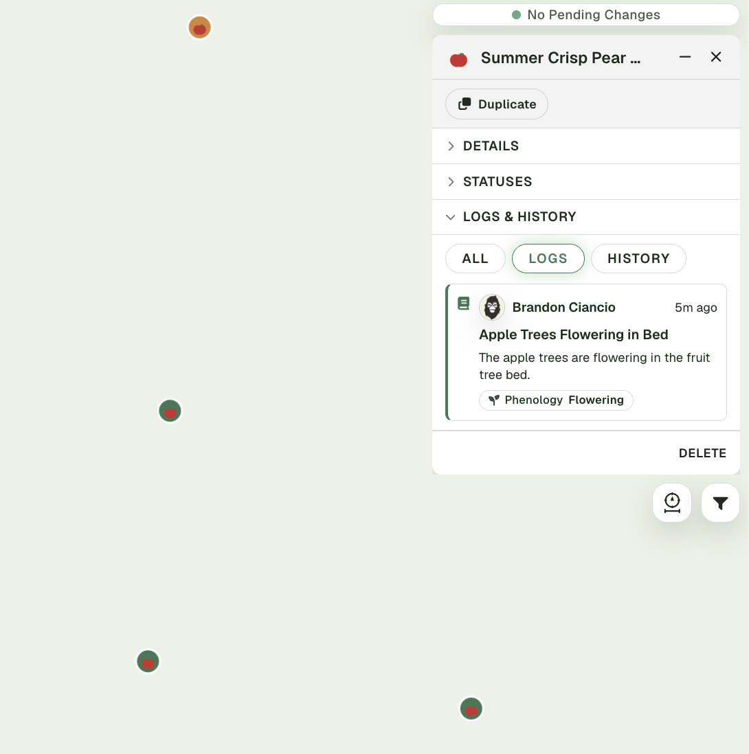
A written logbook for everything you notice
Every observation, task, and change in one place — dated and tied to the zone or trackable it belongs to, so your property keeps its memory across seasons.
- Dated, written field entries
- Linked to map zones and trackables
- Drives targeted recommendations
Your land has memory. Start keeping it.
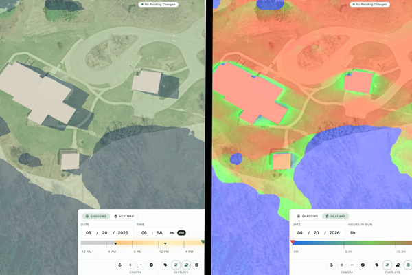
Request a demoShadow simulation meets sun-exposure heatmap
Watch shadows travel across your land through the day, then see where the sun actually lands as a cumulative heatmap. Two readings of the same ground — so you plant, build, and site with the light, not against it.
An AI assistant that knows your terrain
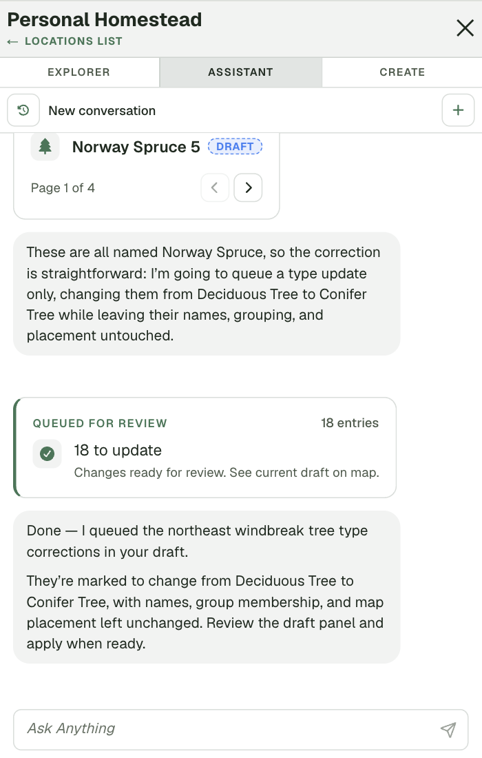
Ask about your property in plain language. The assistant reads your map and notes, then drafts suggestions — where a tree line might go, what needs attention this season. It proposes; you decide what becomes real.
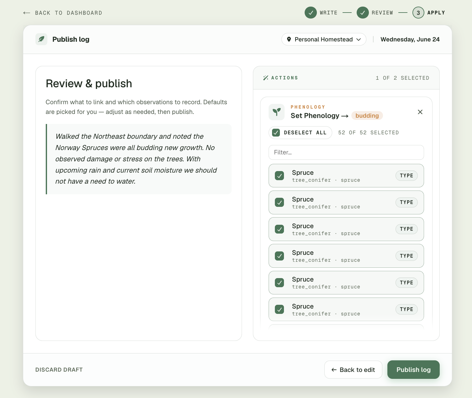
Notes that update your trackables
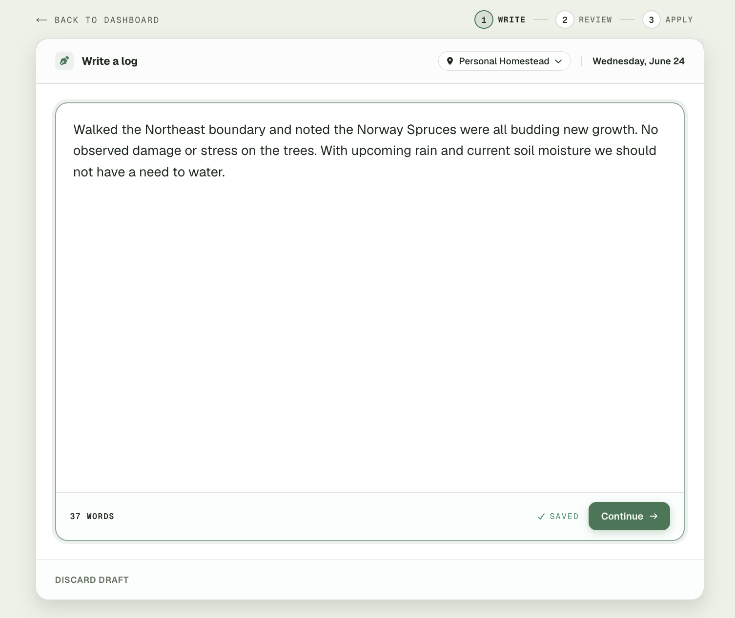
Write what you saw in plain language, then review the structured updates the app draws out of it — like setting a phenology stage on every tree you named — and publish to apply them across your trackables at once.